Vietnam Landslides

Our Team
Our team members details

Research articles
Our Latest Research Articles
Gallery
Our recent field trip photos
Vietnam Landslides
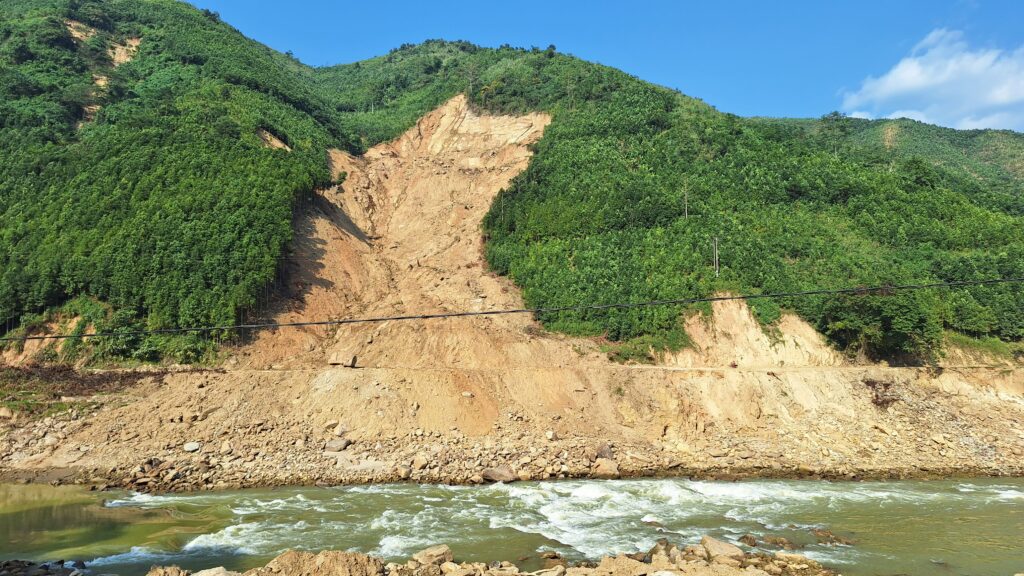
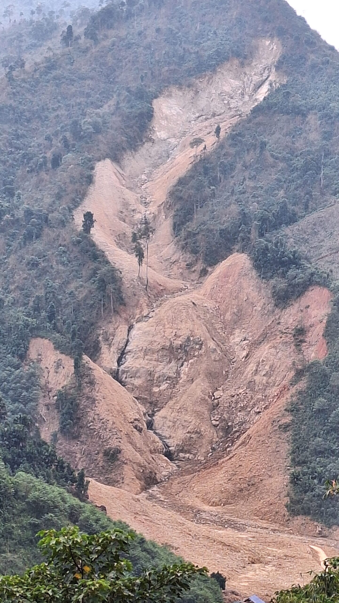
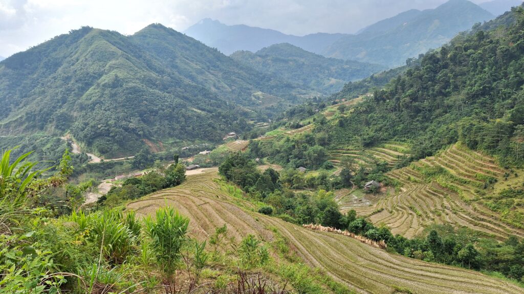
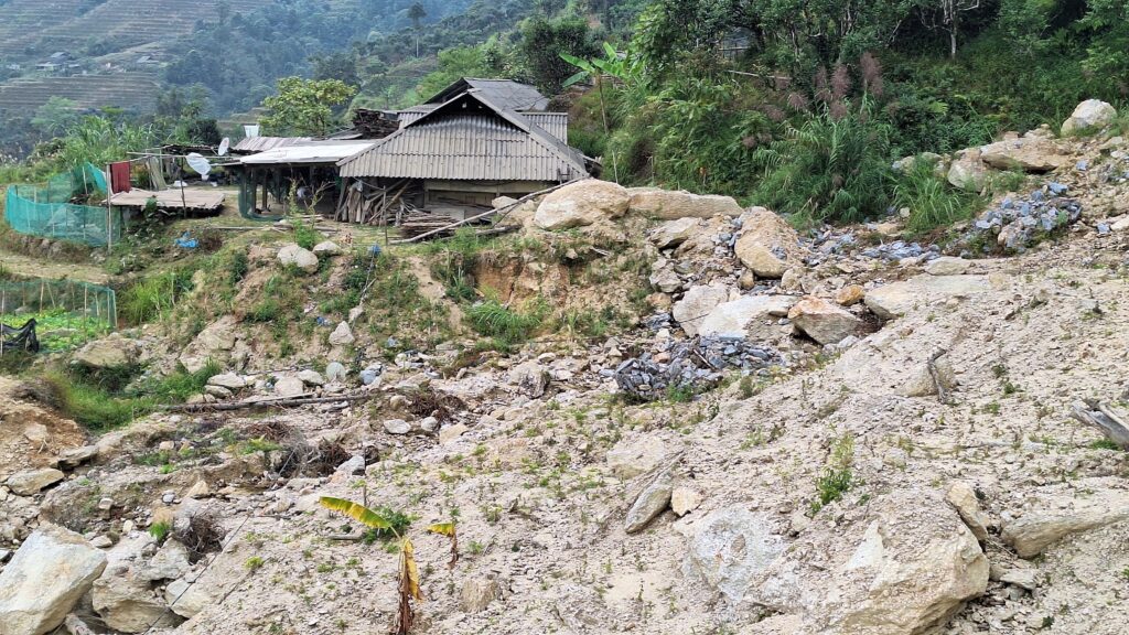
Vietnam’s diverse topography, characterised by mountainous regions and dense river networks, makes it highly susceptible to landslides, especially during monsoon seasons and extreme weather events. These natural disasters not only threaten lives and infrastructure but also disrupt livelihoods and ecosystems. Our project is dedicated to studying landslides in Vietnam through cutting-edge technology, geospatial analysis, and community-driven insights. By identifying risk zones, understanding the triggers, and proposing mitigation strategies, we aim to empower communities and policymakers with the knowledge to build resilience against future challenges. Explore our findings and join us in safeguarding Vietnam’s landscapes and people.

“Landslides are complex, multi-faceted natural events that involve the rapid downslope movement of rock, soil, and debris under the influence of gravity. Understanding their triggers, such as seismic activity, heavy rainfall, or human intervention, is crucial in mitigating their effects on vulnerable communities and ecosystems.” — Geological Society of America, 2018


OUR COMPLETE FIELD WORK

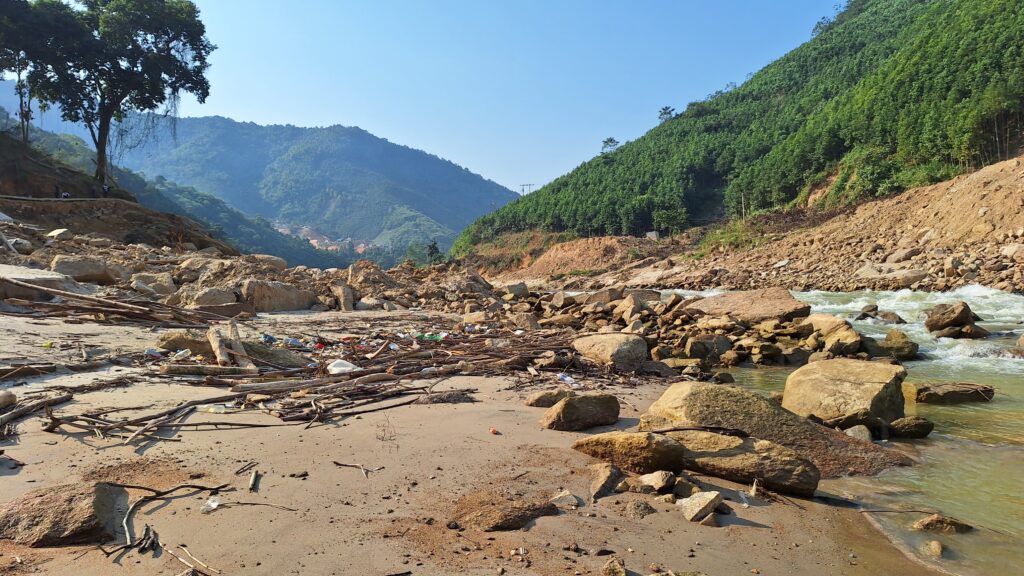
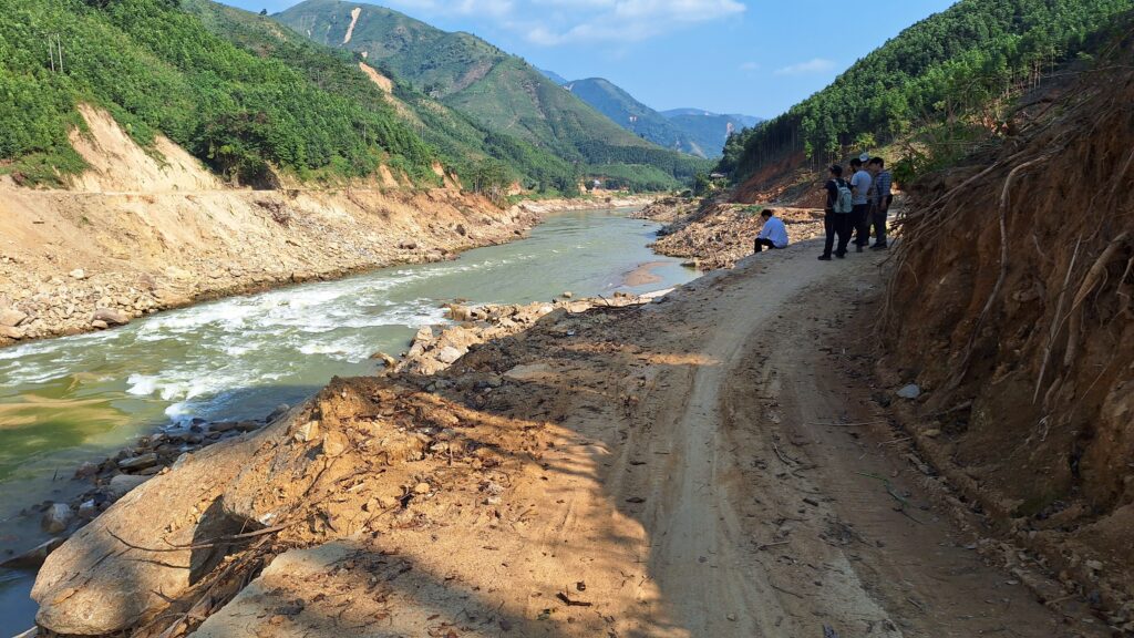
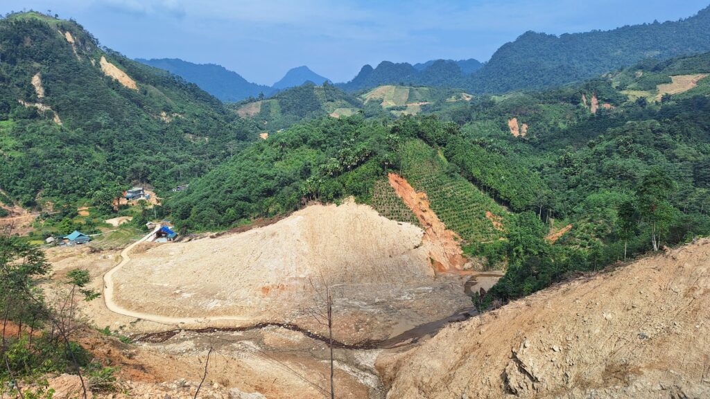
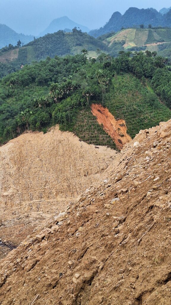
OUR RECENT WORK
-
Landslides in Vietnam
Read more: Landslides in VietnamOur Team Our team members details Research articles Our Latest Research Articles…
Leave a Reply